Difference between revisions of "File:Singapore Master Plan 2014 Landuse.png"
Jump to navigation
Jump to search
(Yunyu.chong.2018 uploaded a new version of File:Singapore Master Plan 2014 Landuse.png) |
|
(No difference)
| |
Latest revision as of 14:40, 15 September 2019
Illustrates the landuse for each plot of land in Singapore
File history
Click on a date/time to view the file as it appeared at that time.
| Date/Time | Thumbnail | Dimensions | User | Comment | |
|---|---|---|---|---|---|
| current | 14:40, 15 September 2019 | 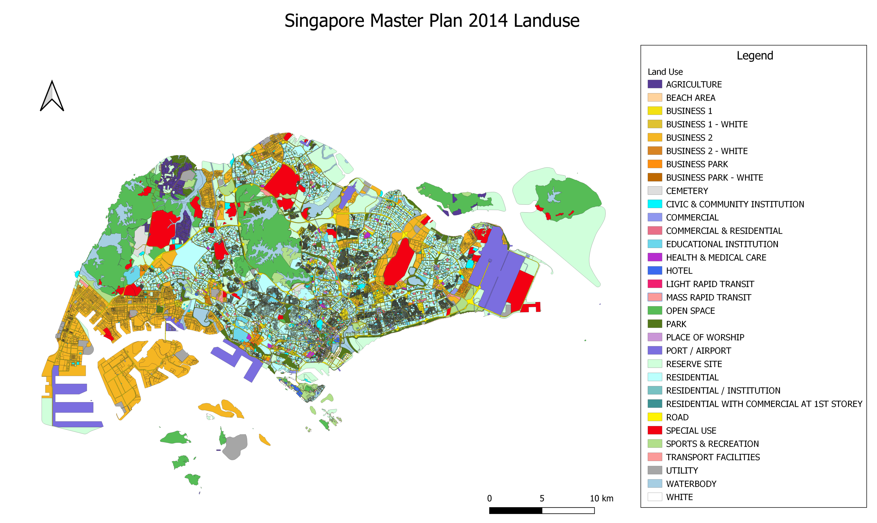 | 3,000 × 1,791 (1.75 MB) | Yunyu.chong.2018 (talk | contribs) | |
| 13:08, 15 September 2019 |  | 3,000 × 1,744 (1.75 MB) | Yunyu.chong.2018 (talk | contribs) |
- You cannot overwrite this file.
File usage
The following page links to this file: