Difference between revisions of "SMT201 AY2019-20G2 Ex2 JerryTohvan"
Jump to navigation
Jump to search
| Line 50: | Line 50: | ||
== Analytical Hierarchical Process Input Matrix & Approach == | == Analytical Hierarchical Process Input Matrix & Approach == | ||
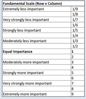
| − | [[File:AHP Scale.jpg| | + | [[File:AHP Scale.jpg|300px|center]] |
| − | [[File:Pairwise Comparison Matrix.jpg| | + | [[File:Pairwise Comparison Matrix.jpg|300px|center]] |
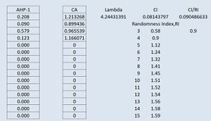
| − | [[File:AHP Analysis.jpg| | + | [[File:AHP Analysis.jpg|300px|center]] |
| − | [[File:AHP Analysis 2.jpg| | + | [[File:AHP Analysis 2.jpg|300px|center]] |
| − | [[File:AHP Ratio.jpg| | + | [[File:AHP Ratio.jpg|300px|center]] |
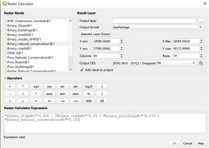
| − | [[File:Raster calc AHP.jpg| | + | [[File:Raster calc AHP.jpg|300px|center]] |
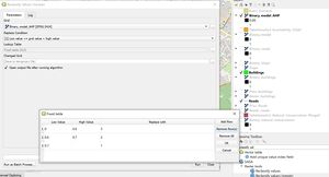
| − | [[File:Reclassify binary AHP.jpg| | + | [[File:Reclassify binary AHP.jpg|300px|center]] |
== Recommendation == | == Recommendation == | ||
Revision as of 00:00, 4 November 2019
Contents
Part 1: Study Area Map Components
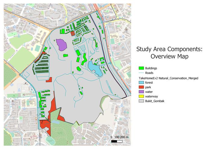
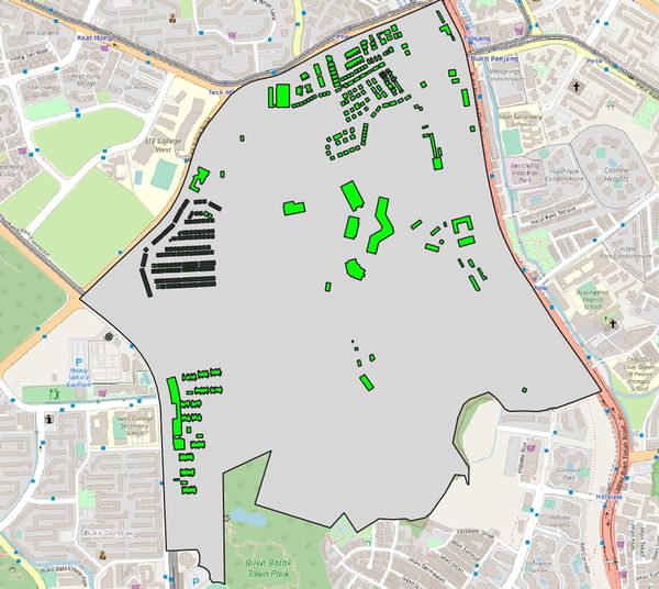
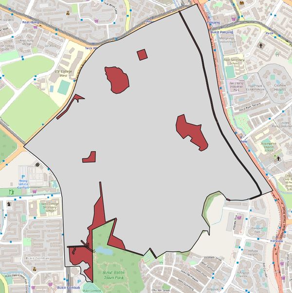
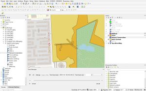
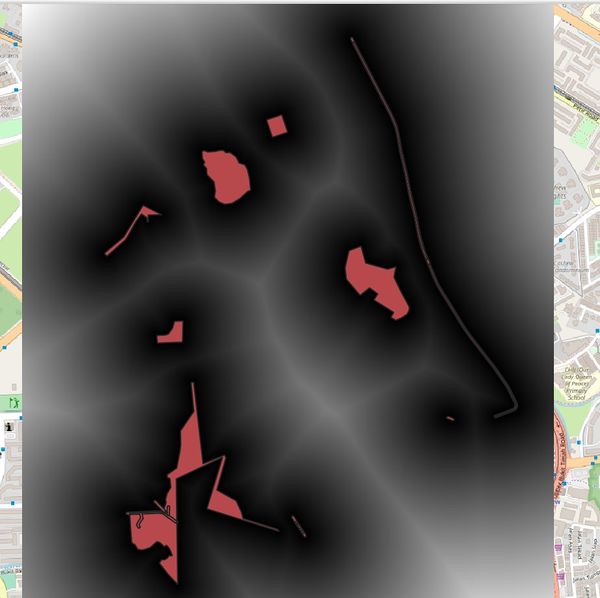
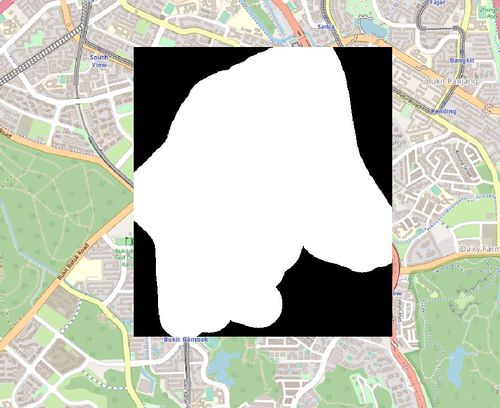
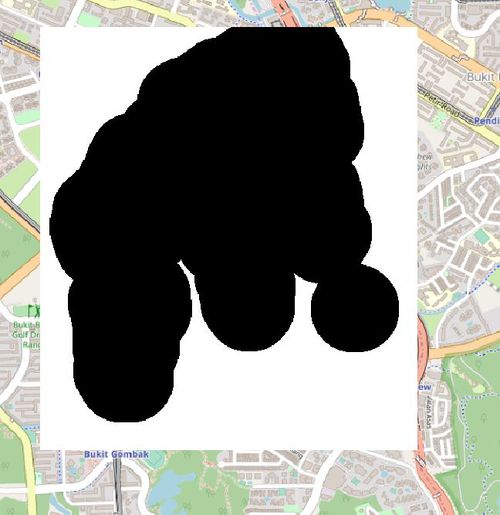
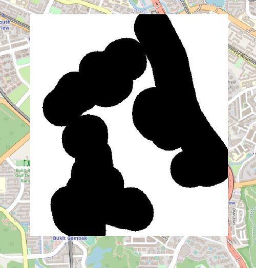
The following shows an overview of the study area and its map components we want to consider in this suitability land analysis for the Communicable Disease Quarantine Centre in Bukit Gombak:
FIGURE I
Study Area Map Components
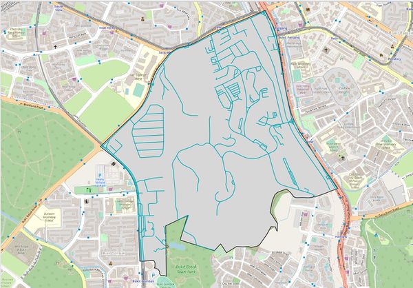
Firstly, the thematic mapping shown in figure 5 represents the default view of the map. School data points, map line and road network are shown on top of the OpenStreetMap.
