Difference between revisions of "SMT201 AY2019-20T1 EX2 Wang Youjin"
| Line 105: | Line 105: | ||
</div> | </div> | ||
<div class="imgContainer"> | <div class="imgContainer"> | ||
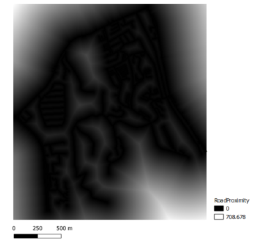
| − | + | [[File:Youjin RoadProximity.PNG|center|400px]] | |
| − | <p>Next, we obtain the proximity view of the | + | |
| + | <p>Next, we obtain the proximity view of the rasterized road layer </p> | ||
</div> | </div> | ||
| Line 116: | Line 117: | ||
| 2.Proximity to target building layer | | 2.Proximity to target building layer | ||
|| | || | ||
| − | |||
Description | Description | ||
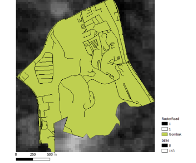
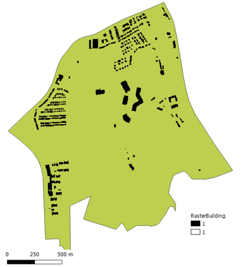
| − | [[File:|center|500px]] | + | [[File:Youjin RasterBuilding.PNG|center|500px]] |
| + | <p class=MsoNormal align=center style='text-align:center;line-height:normal'><span | ||
| + | lang=EN-GB style='font-size:8.0pt;font-family:"Times New Roman",serif; | ||
| + | mso-fareast-font-family:"Times New Roman";font-variant:small-caps;color:white'><span | ||
| + | style='color:windowtext'>Rasterized Building Layer </span></span></p> | ||
| + | <p class=MsoNormal align=center style='text-align:center;line-height:normal'><span | ||
| + | lang=EN-GB style='font-size:8.0pt;font-family:"Times New Roman",serif; | ||
| + | mso-fareast-font-family:"Times New Roman";font-variant:small-caps;color:white'><span | ||
| + | style='color:windowtext'> | ||
| + | </span></span></p> | ||
| + | <br><br> | ||
| + | |||
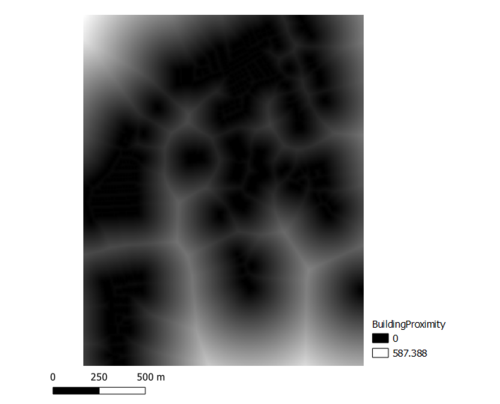
| + | [[File:Youjin BuildingProximity.PNG|center|500px]] | ||
<p class=MsoNormal align=center style='text-align:center;line-height:normal'><span | <p class=MsoNormal align=center style='text-align:center;line-height:normal'><span | ||
lang=EN-GB style='font-size:8.0pt;font-family:"Times New Roman",serif; | lang=EN-GB style='font-size:8.0pt;font-family:"Times New Roman",serif; | ||
mso-fareast-font-family:"Times New Roman";font-variant:small-caps;color:white'><span | mso-fareast-font-family:"Times New Roman";font-variant:small-caps;color:white'><span | ||
| − | style='color:windowtext'> | + | style='color:windowtext'>Proximity to Building</span></span></p> |
<p class=MsoNormal align=center style='text-align:center;line-height:normal'><span | <p class=MsoNormal align=center style='text-align:center;line-height:normal'><span | ||
lang=EN-GB style='font-size:8.0pt;font-family:"Times New Roman",serif; | lang=EN-GB style='font-size:8.0pt;font-family:"Times New Roman",serif; | ||
| Line 136: | Line 148: | ||
| 3.Proximity to target natural features layer | | 3.Proximity to target natural features layer | ||
|| | || | ||
| − | |||
| Line 153: | Line 164: | ||
<br><br> | <br><br> | ||
| + | [[File:|center|400px]] | ||
| + | <p class=MsoNormal align=center style='text-align:center;line-height:normal'><span | ||
| + | lang=EN-GB style='font-size:8.0pt;font-family:"Times New Roman",serif; | ||
| + | mso-fareast-font-family:"Times New Roman";font-variant:small-caps;color:white'><span | ||
| + | style='color:windowtext'>2018 65+ Map</span></span></p> | ||
| + | <p class=MsoNormal align=center style='text-align:center;line-height:normal'><span | ||
| + | lang=EN-GB style='font-size:8.0pt;font-family:"Times New Roman",serif; | ||
| + | mso-fareast-font-family:"Times New Roman";font-variant:small-caps;color:white'><span | ||
| + | style='color:windowtext'> | ||
| + | </span></span></p> | ||
| + | <br><br> | ||
|- | |- | ||
Revision as of 21:33, 30 October 2019
Contents
Part 1: Base Map Views
4 basic map views showing: 1) Gombak Road 2) Gombak Building 3) Gombak Natural Features 4) Digital Elevation together with targeted study area - Bukit Gombak:
| Map Type | Map View Layout |
|---|---|
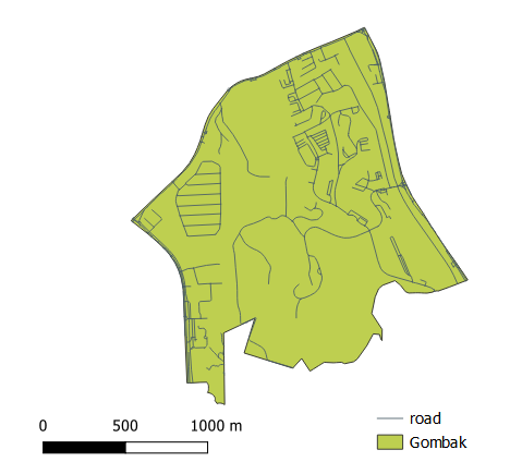
| 1.Gombak Road - shows the study area and the target roads |
Description: xxxxxxxxxxxxxxxxxxxxxxxxxxxxxxxxxxxxxxxxxxxxxxxxxxxxxxxxxxxxxxxxxxxxxxxxxxxxxxxxxxxxxxxxxxxxxxxxxxxxxxxxxxxxxxxxxxxxxxxxxxxxxxxxxxxxxxxxxxxxxxxxxxxxxx
Gombak Target Road
Description
|
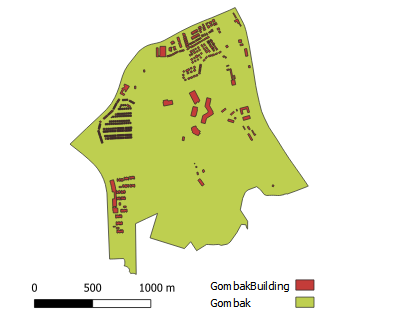
| 2.Gombak Building - the study area and buildings |
Description Gombak Target Building
|
| 3. Gombak Target Natural Feature- the study area and the target natural features |
Gombak Target Natural Feature
|
| 4.Digital Elevation - the study area and digital elevation |
Description Digital Elevation Layer
|
Part 2: Factor Layers:Proximity and Slope Map Views
Four views showing the proximity map to 1)target roads layer, 2) buildings layer,3) target natural features layer and 4) slope layer that are created in Part 1.
| Map Type | Map View Layout |
|---|---|
| 1. Proximity to target roads layer |
|
| 2.Proximity to target building layer |
Description
Rasterized Building Layer
Proximity to Building
|
| 3.Proximity to target natural features layer |
[[File:|center|400px]] Proportion of Aged population of 2018
[[File:|center|400px]] 2018 65+ Map
|
| 4.Slope Layer |
[[File:|center|400px]] Proportion of Aged population of 2018
|
Part 3: Factor Layers with Criterion Scores
A map layout with four views showing the criterion scores of each factor layers including 1)Economic factor 2) Accessibility Factor 3) Health Risk Factor 4) Natural Conservation Factor
| Factor Layer | Criterion Scores |
|---|---|
| 1. Economic Factor |
he selected site should avoid steep slope. This is because construction at steep slope tends to involve a lot of cut-and-fill and will lend to relatively higher development cost.
School types
Description
|
| 2. Accessibility Factor |
The selected site should be close to existing local roads, namely: service roads and tracks. This is to ensure easy transportation of building materials during the construction stage [[File:|600px|center]] Road Network
|
| 3. Health Risk Factor |
The selected site should be away from population i.e. housing areas and offices in order to avoid disease spreading to the nearby population Land Use
|
| 4.Natural Conservation Factor |
The selected site should be away from forested land, park and water [[File:|600px|center]] Road Network
|
Part 4: Analytical Hierarchical Process (AHP) input matrix
An Analytical Hierarchical Process input matrix and result report and a short description of not more than 150 words discussing the analysis results.
| Factor Layer | Criterion Scores |
|---|---|
| input matric |
Description
School types
Description
|
Part 5: Suitability land lot
A map layout with the suitability land lot(s) and a short description of not more than 200 words commenting on each of the suitable land lot identified.
| Conclusion | Map Layout |
|---|---|
| Land Lot |
Description
School types
Description
|
