Difference between revisions of "SMT201 AY2019-20G1 Ex1 Lim Shen Jie"
Jump to navigation
Jump to search
| Line 4: | Line 4: | ||
==== Description ==== | ==== Description ==== | ||
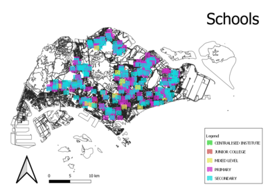
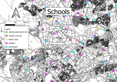
The cartographic technique used to categorize the schools by their main_level was hue. That is because the main_level attribute is a nominal data. Point symbols are the best for schools because it would be able to pinpoint their exact location. | The cartographic technique used to categorize the schools by their main_level was hue. That is because the main_level attribute is a nominal data. Point symbols are the best for schools because it would be able to pinpoint their exact location. | ||
| + | |||
| + | ===== Sources ===== | ||
| + | Master Plan 2014 Land Use link: [https://data.gov.sg/dataset/master-plan-2014-land-use/ Master Plan 2014 Land Use] | ||
=== Roads === | === Roads === | ||
Revision as of 18:22, 15 September 2019
Contents
Part 1: Thematic Mapping
Schools
Description
The cartographic technique used to categorize the schools by their main_level was hue. That is because the main_level attribute is a nominal data. Point symbols are the best for schools because it would be able to pinpoint their exact location.
Sources
Master Plan 2014 Land Use link: Master Plan 2014 Land Use
Roads
Description
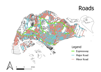
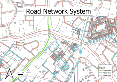
As the roads were not categorized by their road type, a calculated field was needed to generate the road type for the roads based on the name of the road. The cartographic technique used to categorize the roads by the RD_DESC was hue. That is because the RD_DESC data is nominal. To represent the roads on the map, lines are the best way to pinpoint the exact location of the roads.


