Difference between revisions of "SMT201 AY2019-20G2 EX1 Ho Jing Yi"
Jump to navigation
Jump to search
| Line 8: | Line 8: | ||
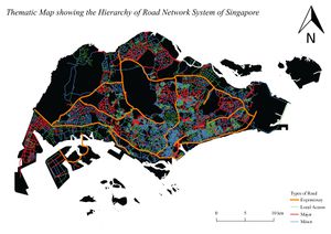
=== Thematic Map showing the Hierarchy of Road Network System of Singapore === | === Thematic Map showing the Hierarchy of Road Network System of Singapore === | ||
| + | [[File:Roadsection.jpg|frameless|left]] | ||
Revision as of 17:42, 15 September 2019
Part 1: Thematic Mapping
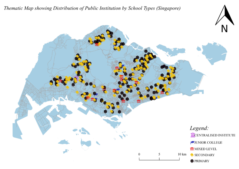
Thematic Map showing the Distribution of Public Institutions in Singapore
Source: School Directory and Information [1] Coastal Outline: From Prof KAM Tin Seong's Handson Ex.4
To show the distribution of public institutions by school types in Singapore, I used various SVG markers to represent different school types. Since primary school accounted for the largest percentage of public institutions in Singapore, I decided to change the colour to black so it will not overshadow the rest of the institutions. For the rest of the institutions, I decided to use a mix of different vibrant colours so that it will appear more noticeable against the light blue coastal outline.

