Difference between revisions of "EX2 Lim Zhong Zhen Timothy"
Jump to navigation
Jump to search
| Line 14: | Line 14: | ||
| | | | ||
|} | |} | ||
| − | = | + | =Criterion Maps= |
{| class="wikitable" | {| class="wikitable" | ||
| Line 28: | Line 28: | ||
| − | === | + | ===Data preparation=== |
| + | In order to do a ranked analysis, the layer data have to be normalised as the data now vary in scale. To that '''Min-Max''' normalisation was used. | ||
Revision as of 23:25, 10 November 2019
|
|
|
|
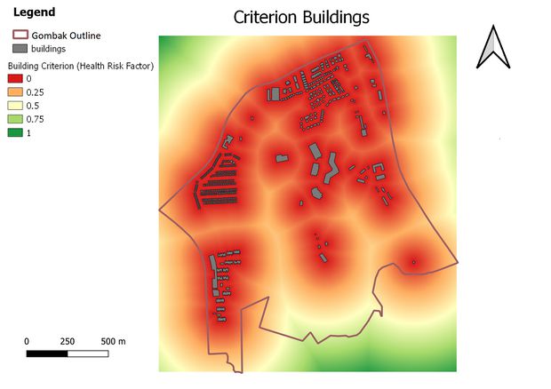
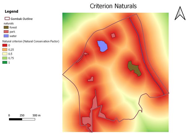
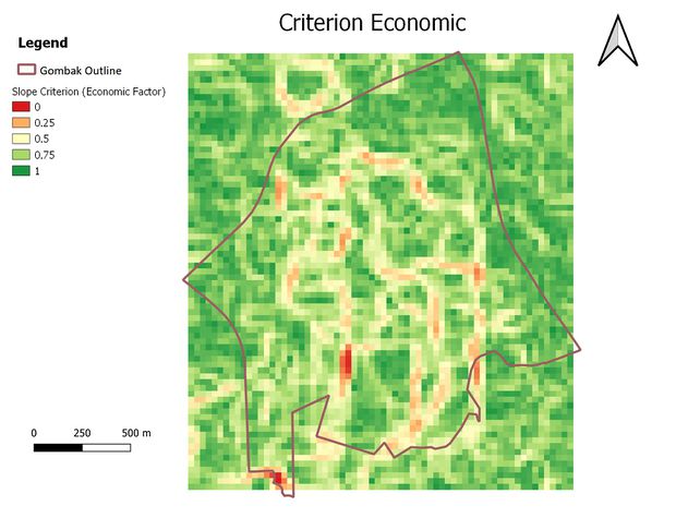
Criterion Maps
Data preparation
In order to do a ranked analysis, the layer data have to be normalised as the data now vary in scale. To that Min-Max normalisation was used.
|
|
|
|


