File:TakeHomeEx1 SchoolEx.png
Jump to navigation
Jump to search

Size of this preview: 800 × 566 pixels. Other resolutions: 320 × 226 pixels | 3,507 × 2,480 pixels.
Original file (3,507 × 2,480 pixels, file size: 1.57 MB, MIME type: image/png)
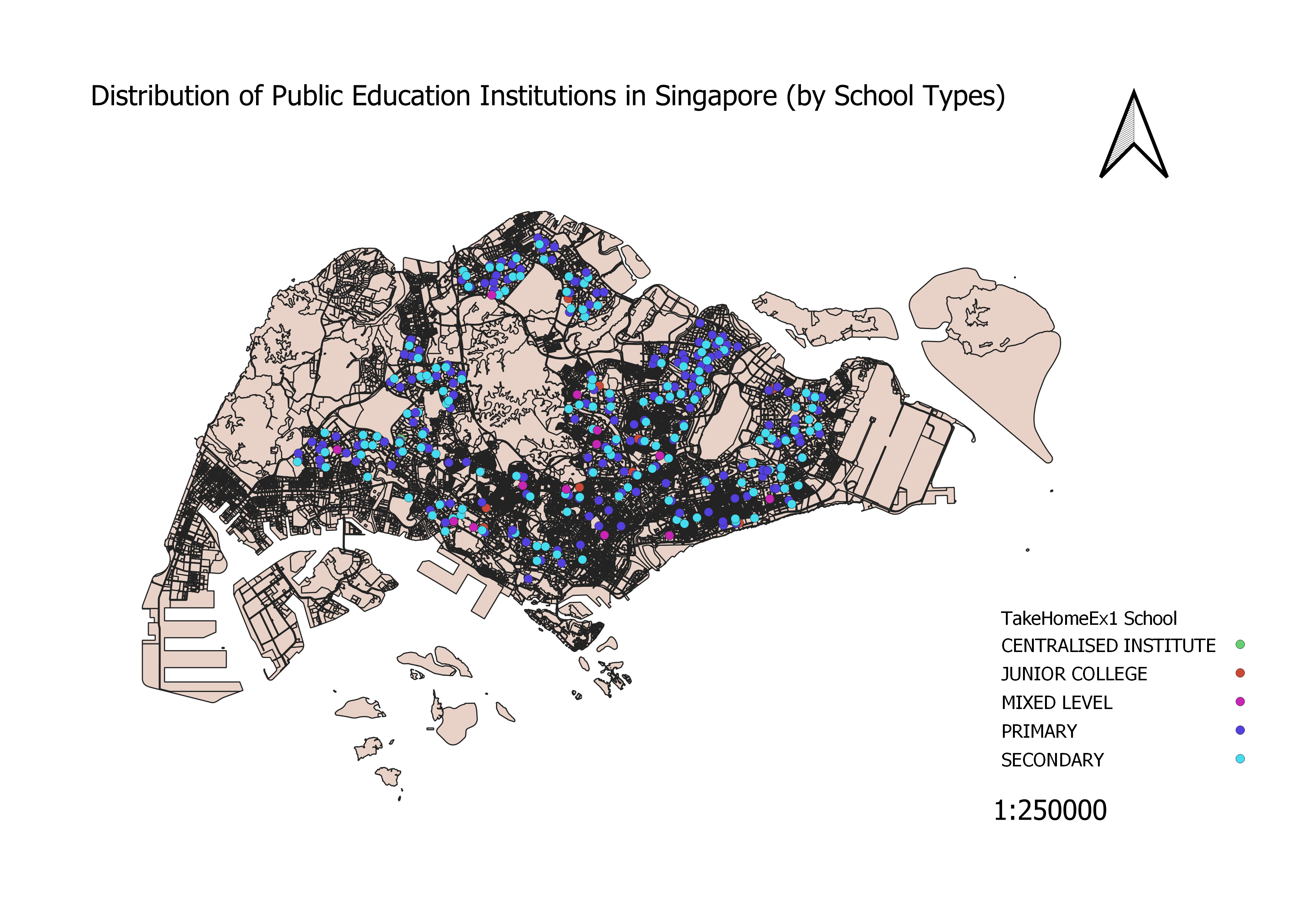
As the types of school is discrete, categorized symbology was used to visualize the distribution of educational institutes. Different symbols and colors were used to showcase the 5 different educational institutes clearly. As there was only ZIP codes provided, python code was used to geocode the insitutes onto the QGIS.
File history
Click on a date/time to view the file as it appeared at that time.
| Date/Time | Thumbnail | Dimensions | User | Comment | |
|---|---|---|---|---|---|
| current | 14:47, 15 September 2019 | | 3,507 × 2,480 (1.57 MB) | Jayin.lee.2018 (talk | contribs) |
- You cannot overwrite this file.
File usage
The following 2 pages link to this file: