File:Standardisation of Total Score Layer.png
Jump to navigation
Jump to search

Size of this preview: 771 × 599 pixels. Other resolutions: 309 × 240 pixels | 1,249 × 971 pixels.
Original file (1,249 × 971 pixels, file size: 108 KB, MIME type: image/png)
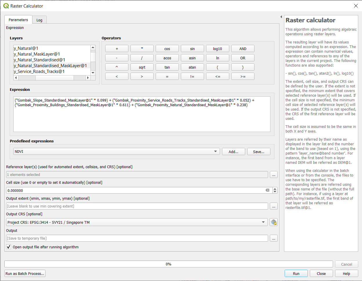
This is an image showing the standardisation of total score layer.
File history
Click on a date/time to view the file as it appeared at that time.
| Date/Time | Thumbnail | Dimensions | User | Comment | |
|---|---|---|---|---|---|
| current | 16:38, 9 November 2019 | | 1,249 × 971 (108 KB) | Kskning.2018 (talk | contribs) | |
| 21:20, 8 November 2019 |  | 1,144 × 964 (101 KB) | Kskning.2018 (talk | contribs) |
- You cannot overwrite this file.
File usage
The following page links to this file: