File:Secondary1.png
Jump to navigation
Jump to search
No higher resolution available.
Secondary1.png (594 × 420 pixels, file size: 355 KB, MIME type: image/png)
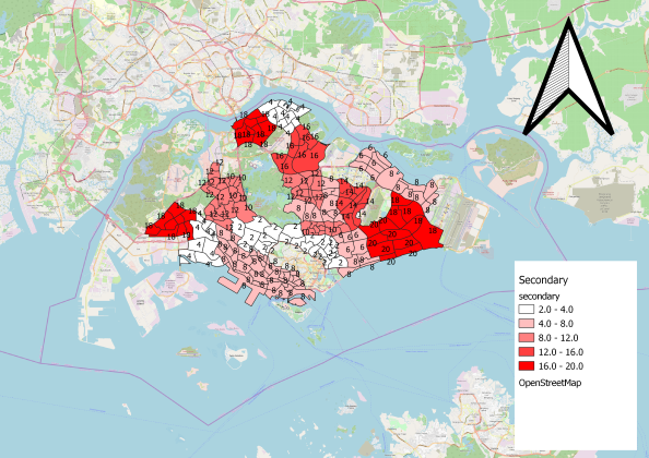
Allocation of secondary school according to different subzones
File history
Click on a date/time to view the file as it appeared at that time.
| Date/Time | Thumbnail | Dimensions | User | Comment | |
|---|---|---|---|---|---|
| current | 09:34, 15 September 2019 | | 594 × 420 (355 KB) | Xing.lin.2018 (talk | contribs) |
- You cannot overwrite this file.
File usage
There are no pages that use this file.