File:Road Network System of Singapore.png
Jump to navigation
Jump to search

Size of this preview: 800 × 565 pixels. Other resolutions: 320 × 226 pixels | 1,169 × 826 pixels.
Original file (1,169 × 826 pixels, file size: 1.08 MB, MIME type: image/png)
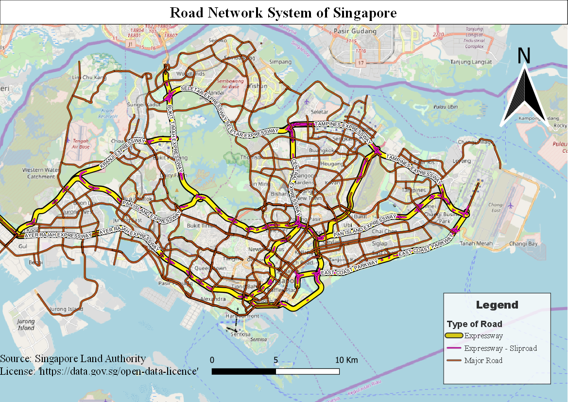
This map shows the hierarchy of the road network system in Singapore, showing the expressways, sliproads and the major roads.
File history
Click on a date/time to view the file as it appeared at that time.
| Date/Time | Thumbnail | Dimensions | User | Comment | |
|---|---|---|---|---|---|
| current | 15:36, 15 September 2019 | | 1,169 × 826 (1.08 MB) | Jerome.quah.2018 (talk | contribs) | |
| 15:33, 15 September 2019 |  | 1,169 × 826 (1.08 MB) | Jerome.quah.2018 (talk | contribs) |
- You cannot overwrite this file.
File usage
The following page links to this file: