File:Road Network System New Version.png
Jump to navigation
Jump to search

Size of this preview: 800 × 472 pixels. Other resolutions: 320 × 189 pixels | 1,398 × 824 pixels.
Original file (1,398 × 824 pixels, file size: 968 KB, MIME type: image/png)
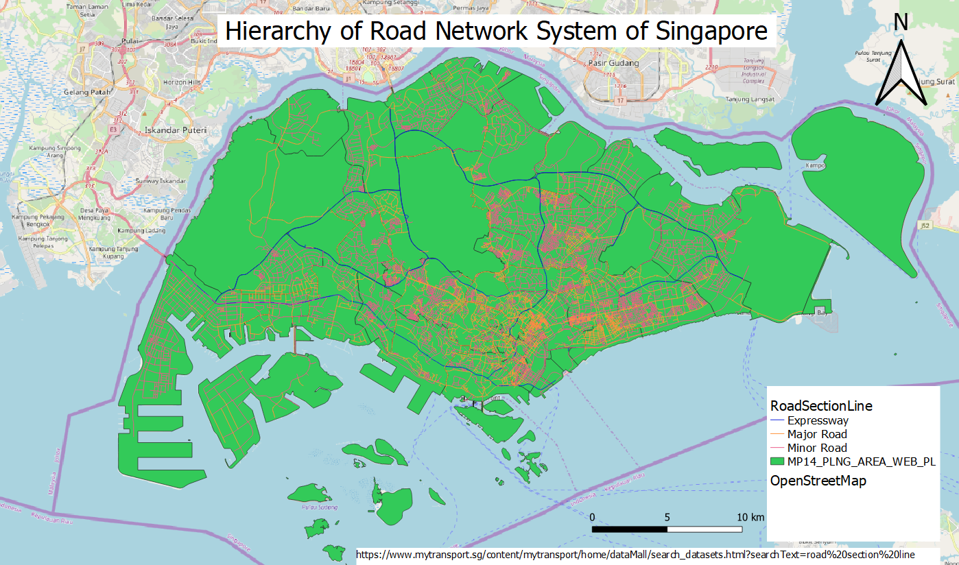
This is a road network system of Singapore which consists of expressways, major roads and minor roads.
File history
Click on a date/time to view the file as it appeared at that time.
| Date/Time | Thumbnail | Dimensions | User | Comment | |
|---|---|---|---|---|---|
| current | 18:57, 15 September 2019 | | 1,398 × 824 (968 KB) | Kskning.2018 (talk | contribs) |
- You cannot overwrite this file.
File usage
The following 2 pages link to this file: