File:Proximity Roads1.png
Jump to navigation
Jump to search
No higher resolution available.
Proximity_Roads1.png (447 × 425 pixels, file size: 119 KB, MIME type: image/png)
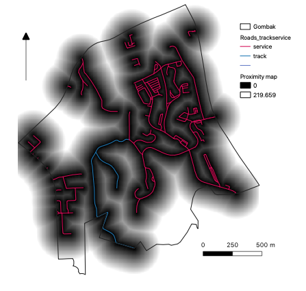
Proximity Roads1
File history
Click on a date/time to view the file as it appeared at that time.
| Date/Time | Thumbnail | Dimensions | User | Comment | |
|---|---|---|---|---|---|
| current | 15:20, 5 November 2019 | | 447 × 425 (119 KB) | Jttan.2018 (talk | contribs) |
- You cannot overwrite this file.
File usage
There are no pages that use this file.