File:Master Plan for Land use.jpg
Jump to navigation
Jump to search
Size of this preview: 800 × 557 pixels. Other resolutions: 320 × 223 pixels | 917 × 639 pixels.
Original file (917 × 639 pixels, file size: 78 KB, MIME type: image/jpeg)
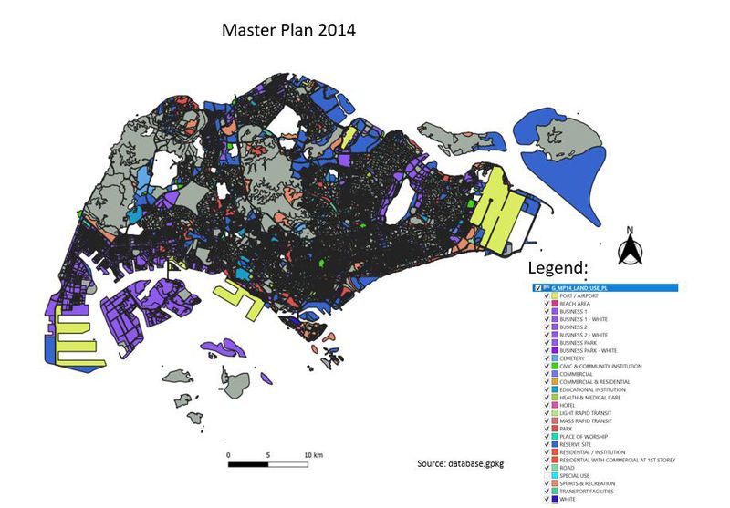
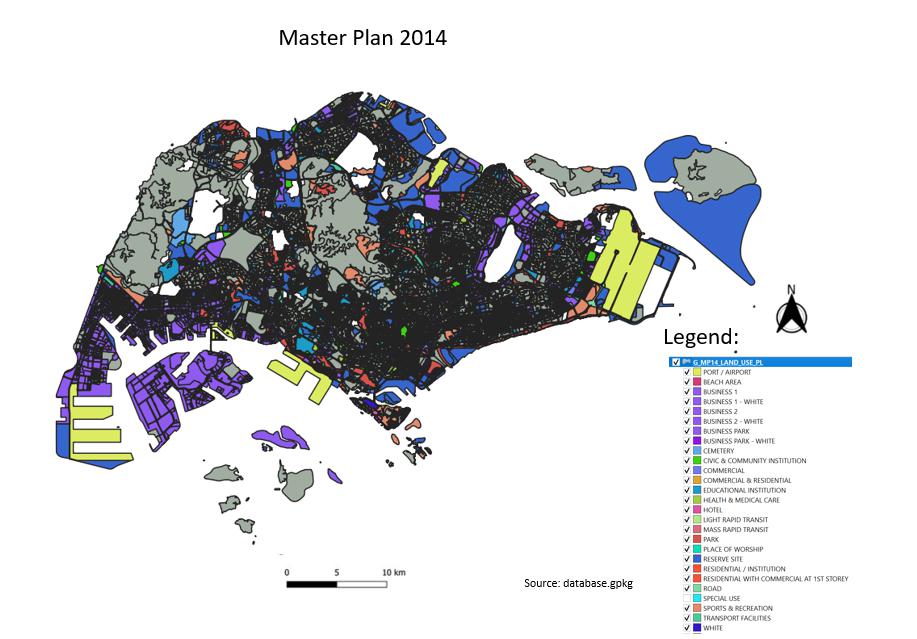
This map shows the master plan for land use in Singapore.
File history
Click on a date/time to view the file as it appeared at that time.
| Date/Time | Thumbnail | Dimensions | User | Comment | |
|---|---|---|---|---|---|
| current | 03:09, 15 September 2019 | | 917 × 639 (78 KB) | Pohyeng.ng.2017 (talk | contribs) |
- You cannot overwrite this file.
File usage
The following page links to this file: