File:Map 2 Final 2.0.png
Jump to navigation
Jump to search

Size of this preview: 800 × 587 pixels. Other resolutions: 320 × 235 pixels | 3,779 × 2,775 pixels.
Original file (3,779 × 2,775 pixels, file size: 1,020 KB, MIME type: image/png)
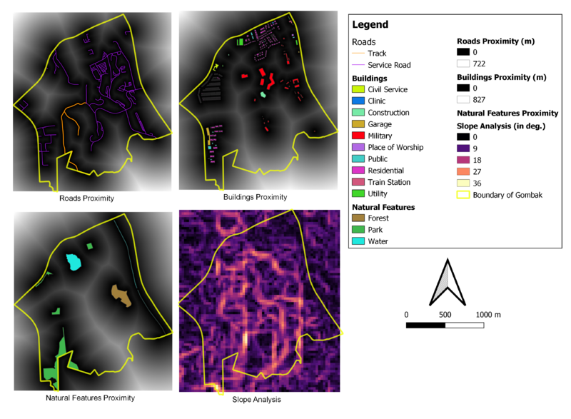
Data Source: Master Plan 2014 Subzone Boundary from URA [data.gov.sg]. Roads, Buildings and Natural Features data from OpenStreetMap [BBBike@Singapore]. ASTER Global Digital Elevation Model dataset jointly prepared by NASA and METI, Japan [search.earthdata.nasa.gov]
File history
Click on a date/time to view the file as it appeared at that time.
| Date/Time | Thumbnail | Dimensions | User | Comment | |
|---|---|---|---|---|---|
| current | 12:55, 9 November 2019 | | 3,779 × 2,775 (1,020 KB) | James.lim.2018 (talk | contribs) |
- You cannot overwrite this file.
File usage
There are no pages that use this file.