File:Map 1 Final James.png
Jump to navigation
Jump to search

Size of this preview: 660 × 600 pixels. Other resolutions: 264 × 240 pixels | 3,507 × 3,188 pixels.
Original file (3,507 × 3,188 pixels, file size: 951 KB, MIME type: image/png)
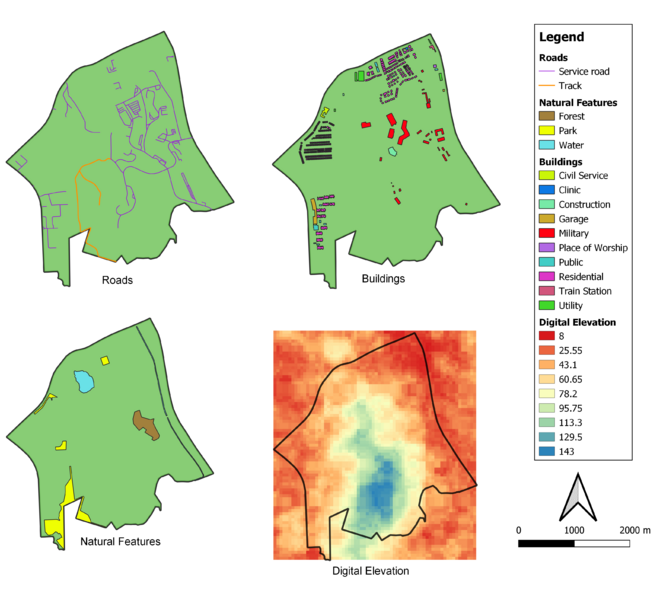
Data Source: Master Plan 2014 Subzone Boundary from URA. Roads, Buildings and Natural Features data from OpenStreetMap. ASTER Global Digital Elevation Model dataset jointly prepared by NASA and METI, Japan.
File history
Click on a date/time to view the file as it appeared at that time.
| Date/Time | Thumbnail | Dimensions | User | Comment | |
|---|---|---|---|---|---|
| current | 11:11, 9 November 2019 | | 3,507 × 3,188 (951 KB) | James.lim.2018 (talk | contribs) |
- You cannot overwrite this file.
File usage
There are no pages that use this file.