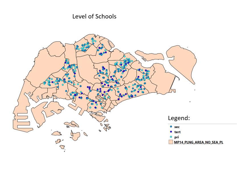
File:Level of school.jpg
Jump to navigation
Jump to search

Size of this preview: 800 × 590 pixels. Other resolutions: 320 × 236 pixels | 850 × 627 pixels.
Original file (850 × 627 pixels, file size: 54 KB, MIME type: image/jpeg)
level of school
File history
Click on a date/time to view the file as it appeared at that time.
| Date/Time | Thumbnail | Dimensions | User | Comment | |
|---|---|---|---|---|---|
| current | 01:03, 15 September 2019 | | 850 × 627 (54 KB) | Pohyeng.ng.2017 (talk | contribs) |
- You cannot overwrite this file.
File usage
The following file is a duplicate of this file (more details):
There are no pages that use this file.