File:LandUse GIF.gif
Jump to navigation
Jump to search


Size of this preview: 736 × 600 pixels. Other resolutions: 295 × 240 pixels | 1,055 × 860 pixels.
Original file (1,055 × 860 pixels, file size: 252 KB, MIME type: image/gif, looped, 2 frames, 2.4 s)
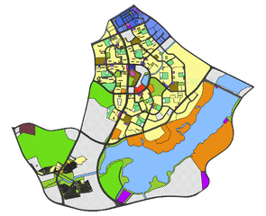
Yishun Land Use GIF
File history
Click on a date/time to view the file as it appeared at that time.
| Date/Time | Thumbnail | Dimensions | User | Comment | |
|---|---|---|---|---|---|
| current | 11:19, 10 November 2019 | | 1,055 × 860 (252 KB) | Huiyun.kang.2016 (talk | contribs) |
- You cannot overwrite this file.
File usage
The following page links to this file: