File:Hierarchy of Road Network System in Singapore.png
Jump to navigation
Jump to search

Size of this preview: 800 × 458 pixels. Other resolutions: 320 × 183 pixels | 3,507 × 2,006 pixels.
Original file (3,507 × 2,006 pixels, file size: 1.49 MB, MIME type: image/png)
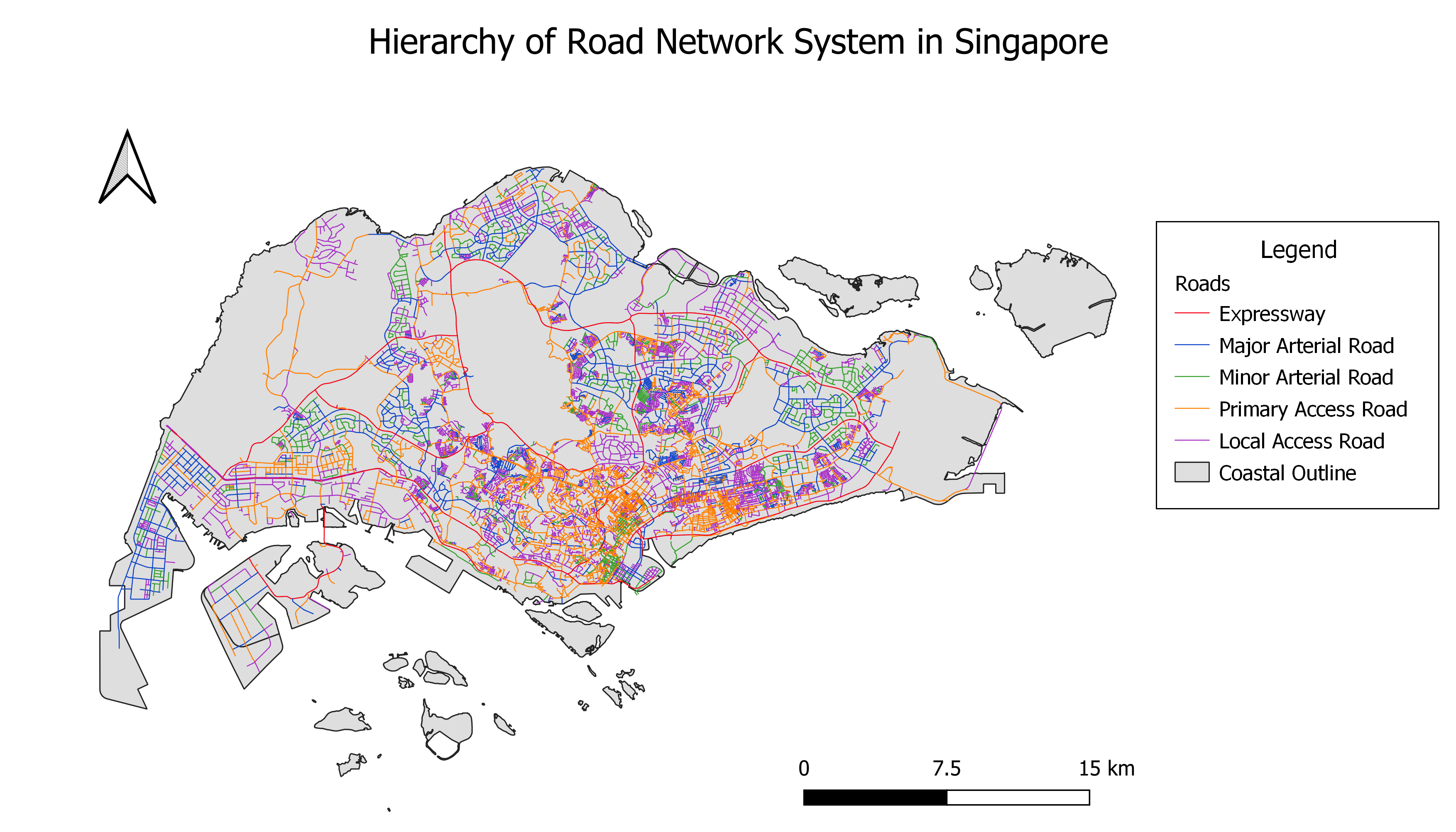
Illustrates the hierarchy of road network system in Singapore using the 5 categories as stated in the URA Handbook on Guidelines for Naming of Streets.
File history
Click on a date/time to view the file as it appeared at that time.
| Date/Time | Thumbnail | Dimensions | User | Comment | |
|---|---|---|---|---|---|
| current | 13:00, 15 September 2019 | | 3,507 × 2,006 (1.49 MB) | Yunyu.chong.2018 (talk | contribs) |
- You cannot overwrite this file.
File usage
The following page links to this file: