File:Final suitability map.png
Jump to navigation
Jump to search

Size of this preview: 800 × 568 pixels. Other resolutions: 320 × 227 pixels | 1,400 × 994 pixels.
Original file (1,400 × 994 pixels, file size: 51 KB, MIME type: image/png)
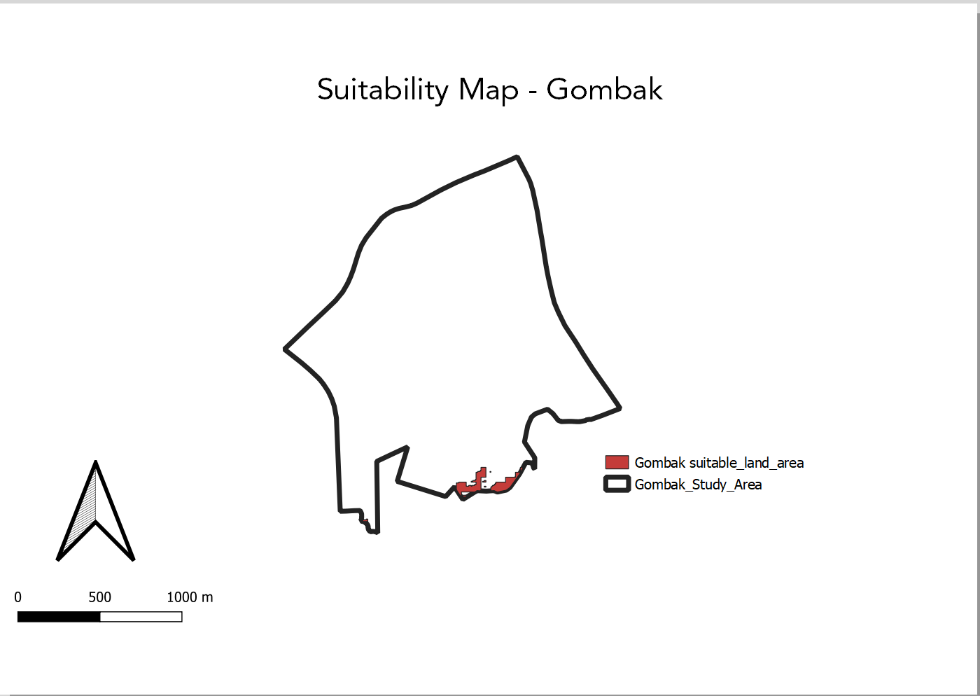
Final suitability map
File history
Click on a date/time to view the file as it appeared at that time.
| Date/Time | Thumbnail | Dimensions | User | Comment | |
|---|---|---|---|---|---|
| current | 23:04, 10 November 2019 | | 1,400 × 994 (51 KB) | Darren.tan.2017 (talk | contribs) |
- You cannot overwrite this file.
File usage
The following page links to this file: