File:Area of Suitable Land Lot.png
Jump to navigation
Jump to search

Size of this preview: 375 × 600 pixels. Other resolutions: 150 × 240 pixels | 480 × 768 pixels.
Original file (480 × 768 pixels, file size: 32 KB, MIME type: image/png)
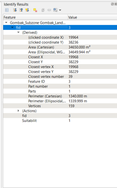
This is the area of the selected suitable land lot.
File history
Click on a date/time to view the file as it appeared at that time.
| Date/Time | Thumbnail | Dimensions | User | Comment | |
|---|---|---|---|---|---|
| current | 16:39, 9 November 2019 | | 480 × 768 (32 KB) | Kskning.2018 (talk | contribs) |
- You cannot overwrite this file.
File usage
The following page links to this file: