File:14MPLandUse MapImage.png
Jump to navigation
Jump to search


Size of this preview: 800 × 565 pixels. Other resolutions: 320 × 226 pixels | 2,923 × 2,066 pixels.
Original file (2,923 × 2,066 pixels, file size: 1.83 MB, MIME type: image/png)
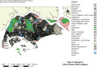
2014 Master Plan Landuse
File history
Click on a date/time to view the file as it appeared at that time.
| Date/Time | Thumbnail | Dimensions | User | Comment | |
|---|---|---|---|---|---|
| current | 01:04, 15 September 2019 | | 2,923 × 2,066 (1.83 MB) | Eddie.leow.2017 (talk | contribs) |
- You cannot overwrite this file.
File usage
The following page links to this file: