File:Image4.png
Revision as of 18:56, 12 April 2019 by Raynie.moo.2015 (talk | contribs)
No higher resolution available.
Image4.png (726 × 311 pixels, file size: 18 KB, MIME type: image/png)
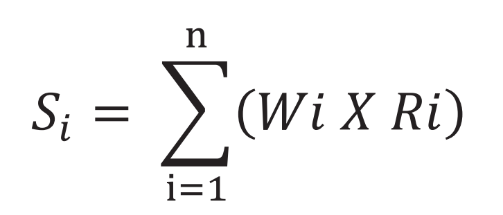
Land Suitability Assessment formula
File history
Click on a date/time to view the file as it appeared at that time.
| Date/Time | Thumbnail | Dimensions | User | Comment | |
|---|---|---|---|---|---|
| current | 16:47, 14 April 2019 | | 726 × 311 (18 KB) | Raynie.moo.2015 (talk | contribs) | |
| 18:56, 12 April 2019 |  | 196 × 113 (7 KB) | Raynie.moo.2015 (talk | contribs) |
- You cannot overwrite this file.
File usage
The following page links to this file: