Difference between revisions of "File:Image10.png"
Jump to navigation
Jump to search
(No difference)
|
Revision as of 19:29, 12 April 2019
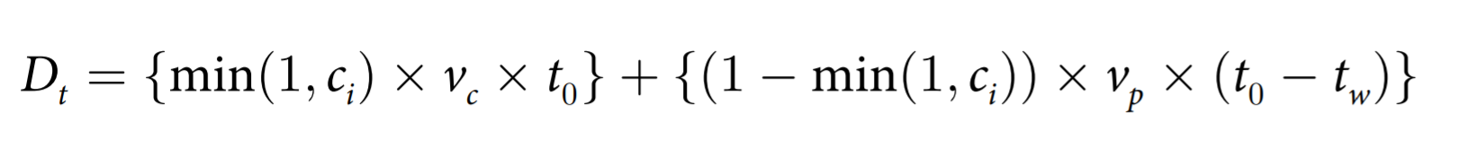
Critical Distance Boundary
File history
Click on a date/time to view the file as it appeared at that time.
| Date/Time | Thumbnail | Dimensions | User | Comment | |
|---|---|---|---|---|---|
| current | 16:49, 14 April 2019 | 1,621 × 184 (35 KB) | Raynie.moo.2015 (talk | contribs) | ||
| 19:29, 12 April 2019 | 571 × 56 (18 KB) | Raynie.moo.2015 (talk | contribs) |
- You cannot overwrite this file.
File usage
The following page links to this file: