ISSS608 2016-17 T3 Assign Suhas Awasthi DataPrep
Revision as of 22:00, 8 July 2018 by Suhasa.2017 (talk | contribs)
Methodology & Insights
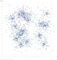
We start our analysis with CSV file containing X and Y Latitude and Longitude coordinates of the All birds file.
Further to this we add background image of the map of Lekagul roadways to fit these coordinates to represent the geospatial data distribution of the location of all species of the birds for our analysis.
